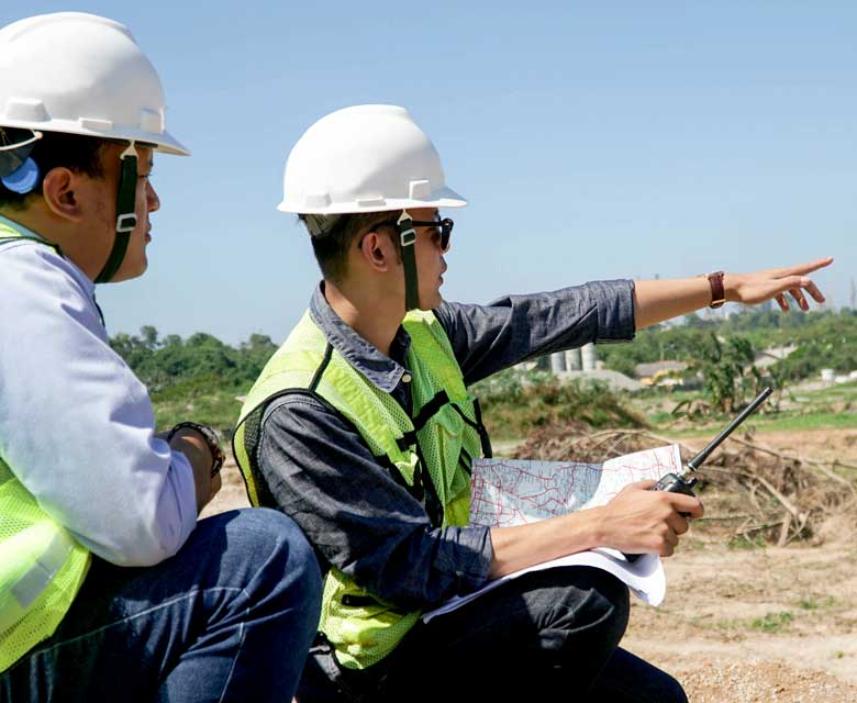
A new report published by ESSA scientists, in collaboration with the Centre for Indigenous Environmental Resources (CIER), provides guidance for Indigenous communities developing regional hydro-climatic monitoring programs: “Hydro-Climatic Monitoring Roadmap: A guide to enabling hydro-climatic monitoring for Indigenous Communities”.
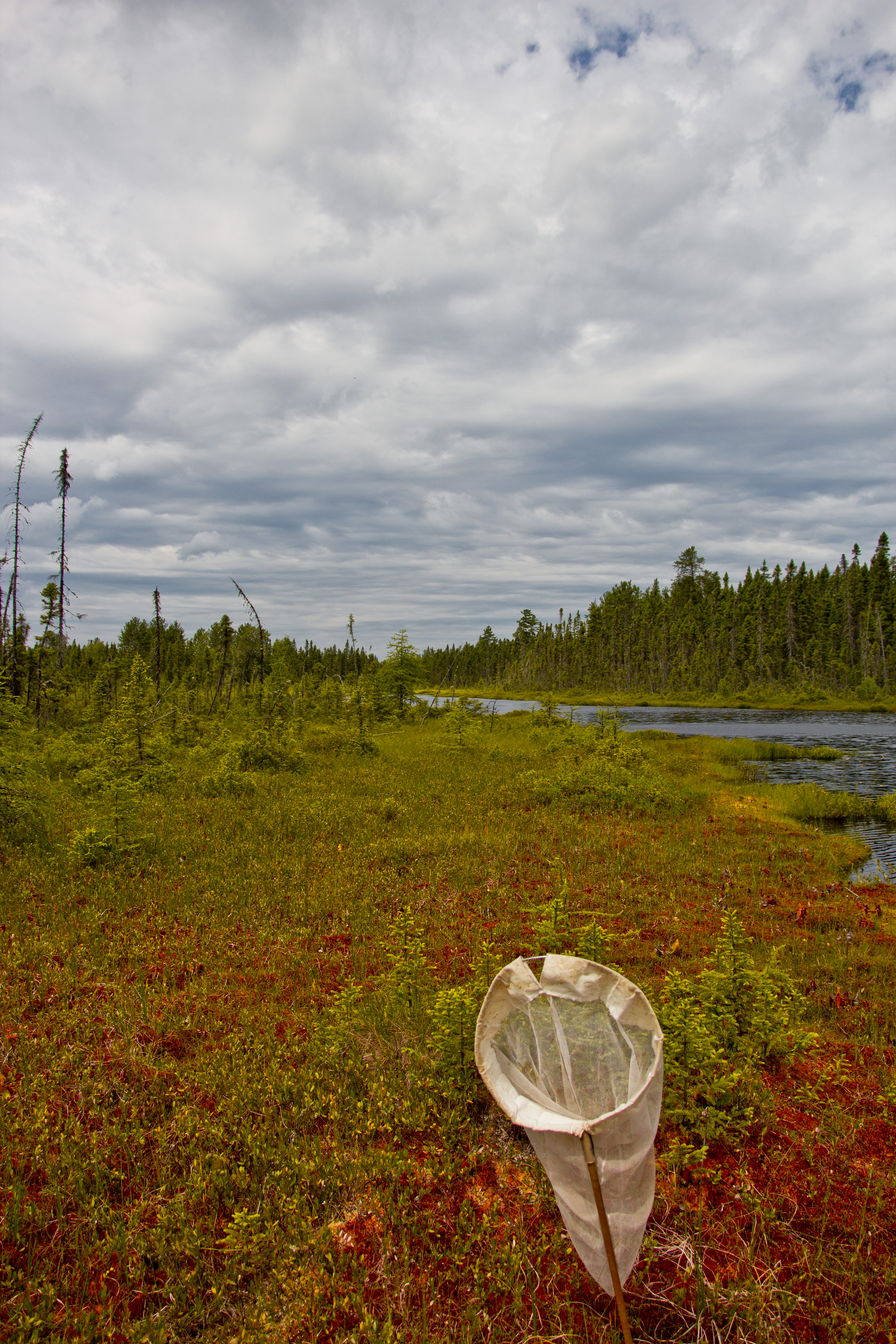
This report (accessible via the CIER website) was developed to support Environment and Climate Change Canada’s (ECCC) Network of Networks (NoN) program, a “principles based, multi-participant, collaborative approach to [environmental] monitoring” that recognizes the need for tailored approaches to local data collection programs. The NoN is a Canada-wide initiative to enhance long-term data collection and foster collaboration, learning, and data sharing between all participants (including Federal, Provincial, and Territorial governments, and Indigenous Nations).
The report draws from academic literature as well as ESSA’s decades of experience providing monitoring advice to governments, Indigenous organizations, and other partners. The report identifies key elements of successful monitoring programs and common challenges of long-term monitoring. As well, it provides guidance to help practitioners implement crucial elements and address common challenges.
In preparing this report, ESSA and CIER also worked with Matawa First Nations Management and Dehcho First Nations to develop a monitoring plan template for each community, drawing from key elements in the roadmap. Our team worked with each community to first understand their unique monitoring needs, decision making contexts, and internal capacity to focus on the most important issues for these communities:
- Many Matawa member First Nations live in remote areas that are not accessible by road, except in the winter when ‘winter roads’ or ‘ice roads’ are used. Their most important hydro-climatic monitoring related question was “Will our winter roads remain safe and usable under a changing climate?”
- Dehcho First Nation members have observed changes in average water levels and navigability of waterways across their traditional territory. They identified two key questions: “What is the condition of water levels in DFN traditional territory?” and “What is the long-term trend in water levels in DFN traditional territory?”
In each case, the road map was applied in collaboration with community representatives to develop a monitoring program (including where, when, how to sample and how to interpret the results) that addressed the focal question of interest, was feasible to implement, and tied to the community’s decisions.